Follow-up measures
Monitoring of avifauna by maritime radar
Objectives and methodology
Monitoring of avifauna by maritime radar will be carried out using an automated radar/camera system installed in the park. Vertical data provides information on flight height while horizontal data provides information on lateral trajectories/directions. These two pieces of information are important to see if the birds change their flight height, avoid the wind turbines laterally, enter directly into the park, and leave again.
The two main objectives are:
Continuously measure bird flows
Determine the average traffic rate and assess potential changes in seabird behavior due to the presence of the park: macro/meso/micro avoidance, height and direction of flight. In addition, this type of monitoring during the park's operating phase will also make it possible to measure the birds' habituation to the presence of the park.
Measuring the migratory flow
Passing through the installation site (in spring and autumn), in order to learn more about the importance of the passages in the bay of Saint-Brieuc
The system (location, type of radar, coverage, dual navigation/avifauna vocation, configuration, maintenance, etc.) is being defined to be operational in the operational phase.
Location of actions
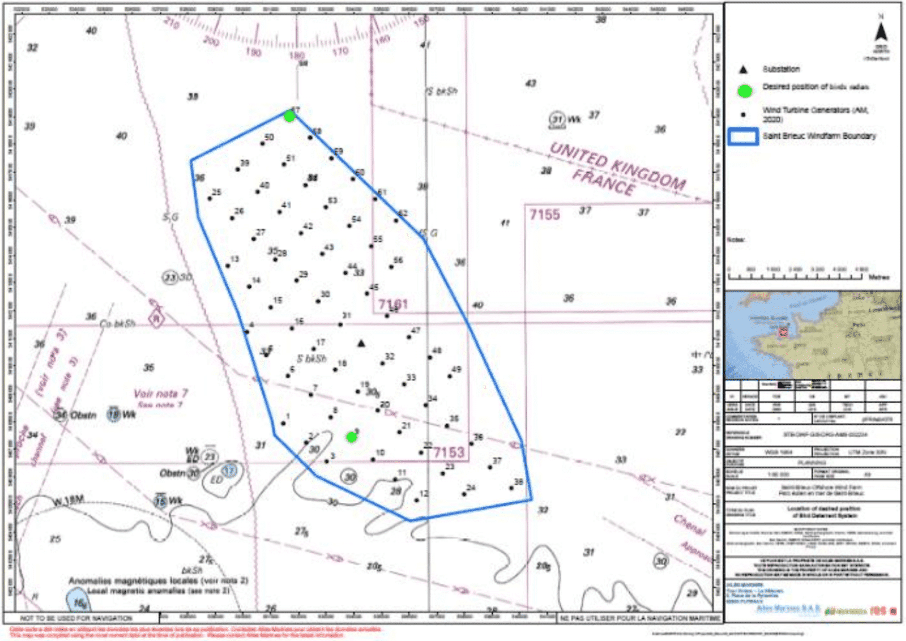
Two radars will be installed within the park, one to the north on foundation no. 57, and the other to the south, the location must still be validated with regard to the technical installation constraints, but it could a priori be foundation no. °9.

Figure 8: Location of the 2 maritime radars within the park.
Schedule and Status
In development
This monitoring will begin when the wind turbines in the park are commissioned and for a period of 2 years during the operating phase of the park.
